Local Traffic Conditions
This experimental feature is under development in February 2024. We'll be adding a few cameras each week. Stay tuned!
Seattle Press is the place to check traffic conditions before you head out. Here are the official State of Washington traffic conditions map and selected highway cameras. Follow the links to the rest of the WSDOT's traffic information site, as well as regional bus and ferry information. If images are slow to load, traffic at DOT site may be heavier than on the freeways. (OR, you could take a ferry or bus ride. Much nicer.)
Click any of the images for the full scale view from WSDOT. Additional information is always available at the excellent DOT site. [Map of all DOT Cameras]
Cameras are grouped for your convenience, north and south of the Lake Washington ship canal.
Note that cameras may be looking in different directions at different times.
We try to keep up with WSDOT, but their stealth camera moving and website update teams are occasionally too good for us.
Note that cameras may be looking in different directions at different times.
We try to keep up with WSDOT, but their stealth camera moving and website update teams are occasionally too good for us.
North
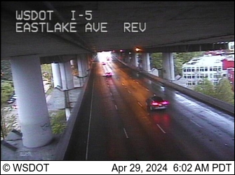
I-5 @ Eastlake Ave.
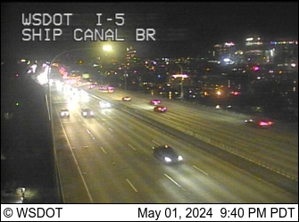
Ship Canal Bridge
South
Placeholder 10FEB224.